



I have had a huge interest in maps and geography since I was a very small child.
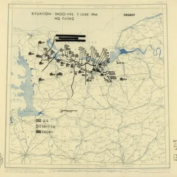
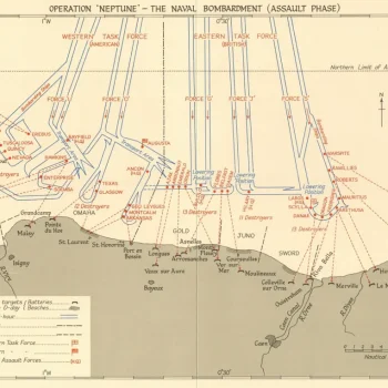
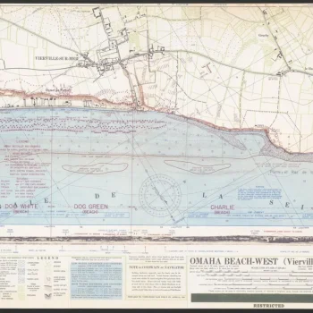
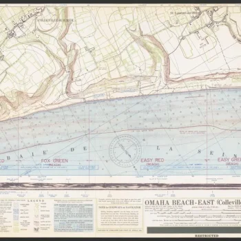
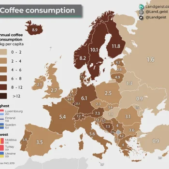
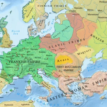
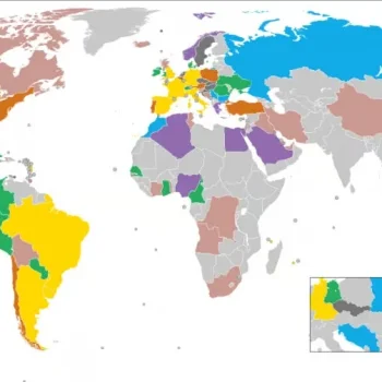
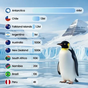
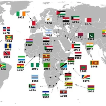
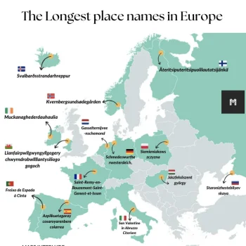
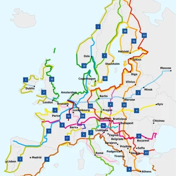
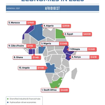
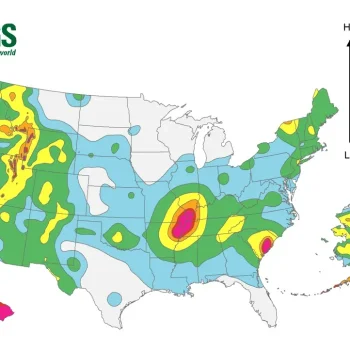
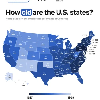
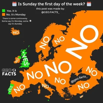
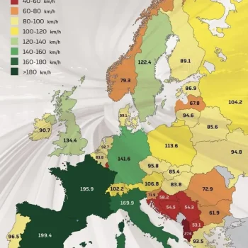
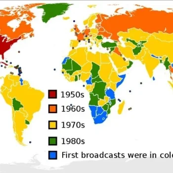
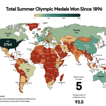
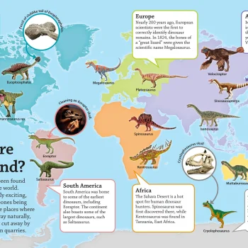
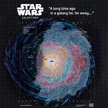
So here's a little thread on maps that I find interesting and fascinating - some represent data, some physical features, others may display key routeways and connectivity and others again might show urbanisation and the growth patterns of cities.
I am generally fascinated with the way places and routes are related to each other in spatial terms, and I could pore over a good map for ages.
Here's one to start off. Feel free to add your own!
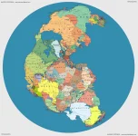
Pangaea (a supercontinent that existed roughly 335-175 million years ago) mapped with contemporary geopolitical borders.
The original is here
So here's a little thread on maps that I find interesting and fascinating - some represent data, some physical features, others may display key routeways and connectivity and others again might show urbanisation and the growth patterns of cities.
I am generally fascinated with the way places and routes are related to each other in spatial terms, and I could pore over a good map for ages.
Here's one to start off. Feel free to add your own!
Pangaea (a supercontinent that existed roughly 335-175 million years ago) mapped with contemporary geopolitical borders.
The original is here